RAIN — Rogue Aerial Intelligence Network
Simple solutions for complex tasks

Simple solutions for complex tasks
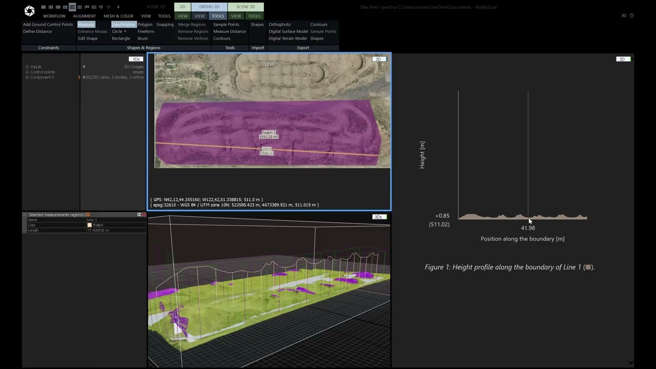
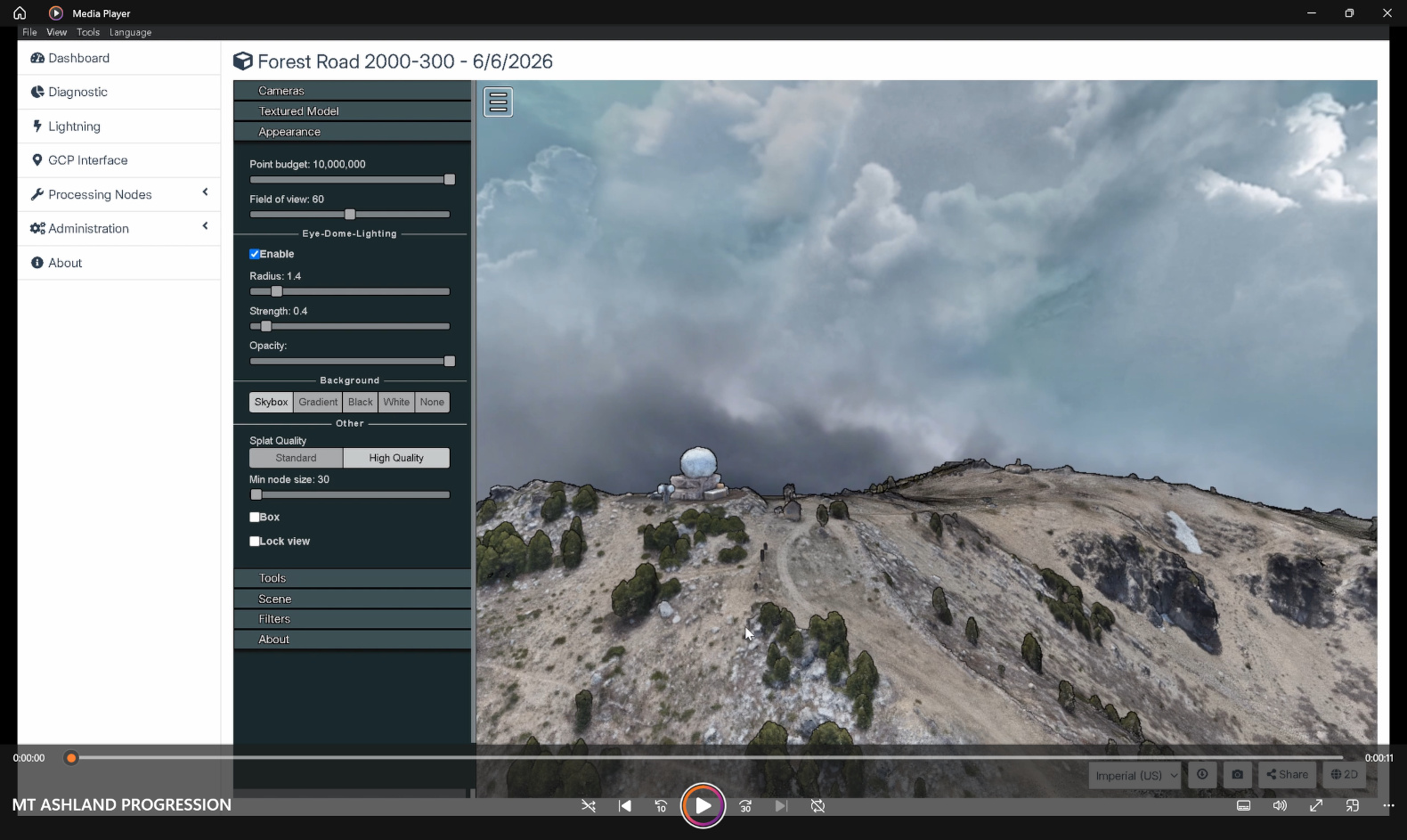
RTK-accurate orthophotos, 3D mesh models, point clouds, and volumetric analysis from a single flight mission.
Georeferenced orthophoto, KMZ/CAD-ready file, flight and processing included. Ideal for developers and contractors needing a clean site overlay.
Everything in Essential plus 3D model and point cloud. Full photogrammetry package for construction monitoring and site documentation.
Everything in Standard plus volumetric measurements and site analysis. Stockpile volumes, elevation data, cut/fill estimates. Client provides locations of interest or GPS coordinates for measurement targets.
All tiers: final quote based on acreage and site complexity.
Infrared imaging for heat signatures, equipment diagnostics, and emergency response support.
Contact for quote. Pricing depends on asset type, size, and reporting requirements.
Rapid wildfire damage analysis, burn severity mapping, and recovery planning from the air.
$200–$600 per acre depending on terrain complexity. Ten acre minimum — $2,000 floor. Deliverables include georeferenced orthophoto, damage classification map, and site report.
Persistent monitoring for remote sites, infrastructure, and operational security.
Starting at $300 per visit. Recurring scheduling available. Contact for custom monitoring plans.
Cinematic drone footage and high-resolution photography for real estate, agriculture, vineyards, and events.
Orbital, flyover, and basic site coverage. Ideal for real estate and property documentation.
Extended coverage, dynamic flight lines, event coordination. Includes safety planning and flight zone establishment.
Professional video and photo editing, deliverable packaging, and DaVinci Resolve post-production services.
Add-on to any package. Contact for quote based on deliverable scope.


Every project gets personal attention — from a quick flyover to a full site survey.
Proud Rogue Valley roots. From bare mineral to the tree tops, we know the terrain.
Active fire crew background. We understand the land, the challenge, and the value of excellent work.
Centimeter-level precision on every mission using real-time kinematic GPS correction.
Off-grid capable technology allows for same-day deliverables even in remote terrain.
Your data never leaves our hands. No third-party cloud. Full privacy guaranteed.